ScoutView 
Our visualizing software ScoutView is mainly used for radar rainfall and NWP data. It can import and display different formats.
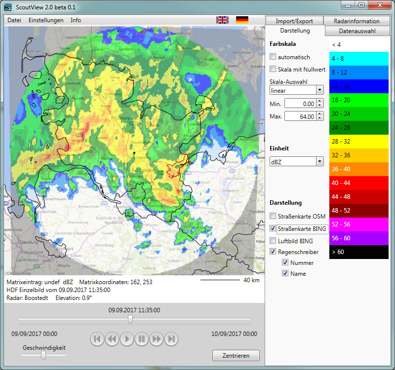
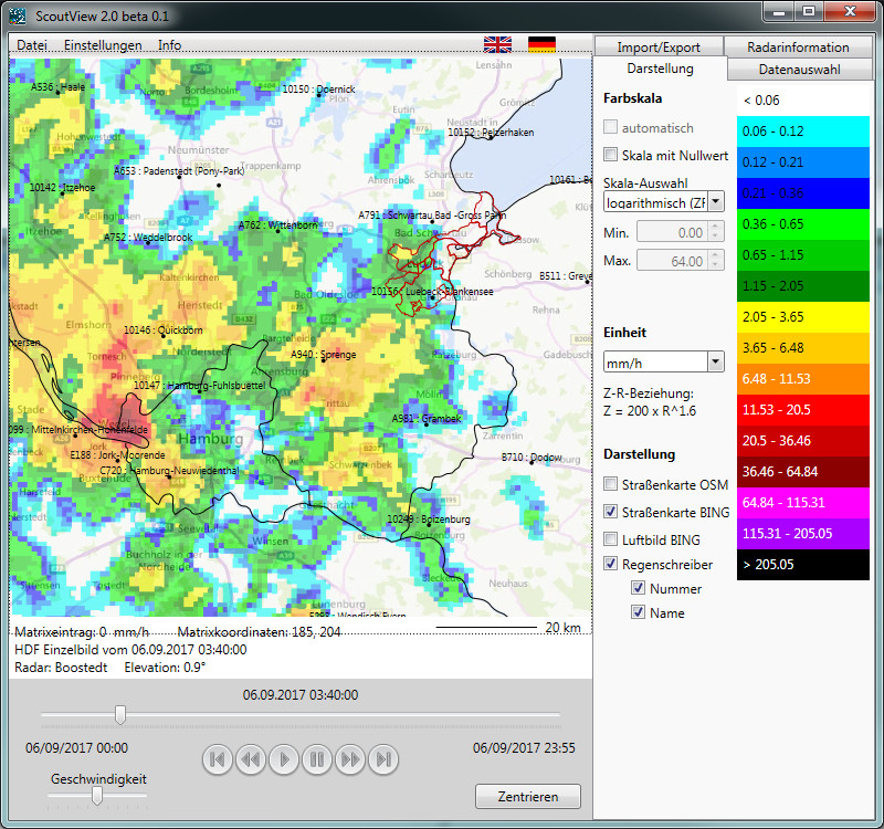
In addition to the data, the pictures can be designed by the user with the help of:
This feature simplifies the analysis and direct comparison with rain gauge data.
The classification of the colored scale can be done automatically or manually. It also can be adapted dynamically on the displayed picture.
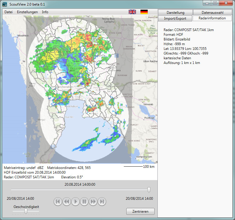
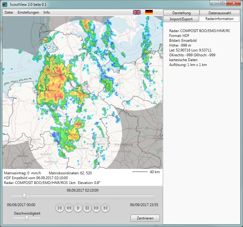
Radar pictures can be viewed as a single picture or as an animated film over a selected time period. The view of different elevations of a volume data file is also possible. The user may define a specific zoom area to be saved and retrieved for a later session.
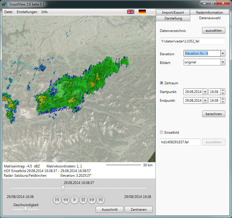
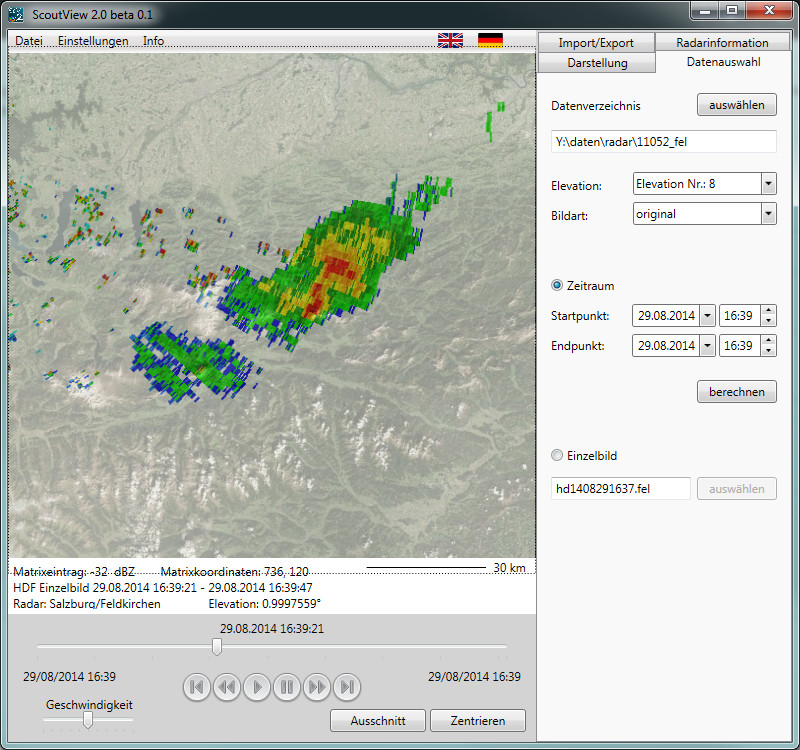
For every radar picture you will get information about radar position, resolution and data format. There are tools for display and export.