
Development of specialized software
For different customers such as public authorities, national and international, we develop specialised software, tools to analyse, issue warnings or produce databases.
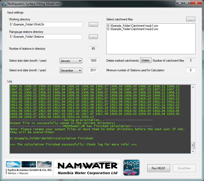
MQSF
For the Namibia Water Corporation we developed the specialised MQSF software, which is able to map monthly rainfall from station measurements into catchment areas while using the multiquadric surface fitting method.
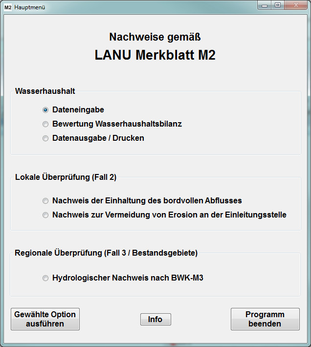
Schleswig-Holstein guideline A-RW-1
For the LLUR (Landesamt für Landwirtschaft, Umwelt und ländliche Räume) the software for the usage of the information sheet A-RW-1 has been updated. This allows users to conduct calculations for spatial planning with the inclusion of a simple water balance computation and, if applicable, the effect of required retentions measures.
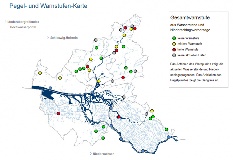
WaBiHa
The software for the Warndienst vor Binnenhochwasser Hamburg was developed based on the operation manual of the LSBG (Landesbetrieb Strassen, Brücken und Gewässer). The WaBiHa software is processing water level measurements of about 40 gauges and COSMO-DE DWD forecast data every 15 minutes for the city of Hamburg. From this information, a total warning level is deduced.
Event data base
For four water boards in Nordrhein-Westfalen (NRW) we have developed a concept for a data base of radar data, which allows the easy selection of extreme measurements for single pixels or areas. The data base consists of analyzed radar data from 16 years (corrected and adjusted). With this the users are able to compare statistics from radar data with statistics from rain gauges. Also, extreme events can be spatially analyzed.